
A Hidden Jewel Idaho!
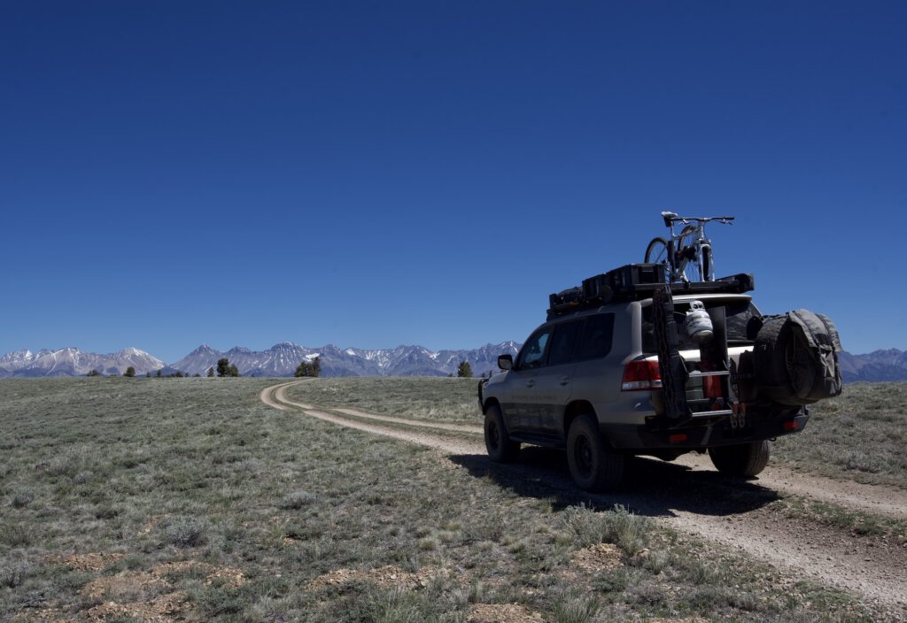


I find myself driving north from MacKay, Idaho, following the Lost River with a few friends. We are on a mission to find the “goods” of Idaho and to find adventures along the way. The lush green grasses of the Lost River valley escort us north. What would we find?
Listen to this Adventure
We exited Highway 93 and traveled east on Sapp Canyon Road. The landscape immediately changed from water-rich ranch land to dry, high desert. Buttes and rock formations dotted the landscape, prompting us to strain our necks to view what might appear around the next corner. Wild horses frequent the area but, on this day, they remained in seclusion.
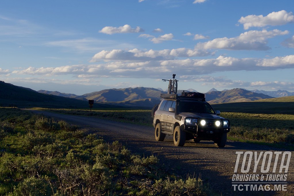
Eventually, the dirt road came to an end. We turned southward on the East Fork of the Salmon River Road. The road surface transitioned back to gravel as we entered the national forest. The White Cloud Mountains, snowcapped, rose in the background. “Magic Hour” was ending, but we saw the final minutes of alpenglow. I watched our position on the Gaia map application on my iPad hoping to select a decent campsite. Soon enough, we found the perfect spot. The large, flat area accommodated our vehicles without a problem, and camp was immediately set. I walked down the hill to investigate a natural wonder.
Sure enough, I saw natural hot spring water flowing from the mountainside into three old, cast iron bathtubs. The water temperature was perfect; I made sure the drains were plugged as water filled the tubs. Sam came prancing down in a black bathrobe, waiting to bathe. He touched the water and smiled. Slowly, he eased into the soothing, warm water. Craig yelled from above, “Tacos are ready!” I left Sam in his own wonderful, peaceful world as I hiked back to camp and dinner. We gorged on tacos and sat by the campfire for warmth. Sam returned to camp refreshed and internally warm. I grabbed my suit and headed to the tubs. Craig followed. In the star-filled sky, we each sat in our own tub and marveled at this natural wonder in the Idaho mountains.
In the morning, after coffee, we each took turns soaking. During my soak, I spotted an old, dilapidated cabin almost hidden by the pines. Those pioneers scored a fresh-water mountain stream as well as a natural hot spring to drink and to bathe in. Pioneer nirvana?
Later that afternoon, after resupplying in Challis, Idaho, we traveled west following one of America’s first toll roads. Gold mining was in its heyday; and a smart, savory person named, Alex Toponce, built a toll road between Challis and the mining district of the Yankee Fork to the west. As we started, snowflakes began to fall. Yep, in June! As we gained altitude, the intensity of the snow increased. My Land Cruiser’s thermometer read 37 degrees! The dirt road remained wet as we traversed the mountain. A few toll booths remain, but much of the history is being reclaimed by the forest. Roughly 40 miles later, our vehicles entered the small ghost town of Custer.
The snowflakes changed to raindrops but that didn’t deter us from wandering around the buildings and imagining life in Custer back then. I entered the old school building—today the town’s museum. Custer is an Idaho State Park. The state is doing its best to preserve and celebrate the history of the area. The Yankee Fork River was the hubbub of gold fever in the late 1800’s. Mine tunnels were bored, and a large gold dredge drifted up and down the Yankee Fork River. Unfortunately, Custer succumbed to the gold bust and the severe weather conditions in the area. I read accounts of avalanches killing many of the town’s people. We toured the gold dredge just west of town. The US Forest Service keeps the dredge open for daily tours. The fortitude and sheer will of those who wanted to strike it rich remains impressive.

We found the Idaho backcountry to be quiet and relaxing.
On our way to Stanley, the following morning, we soaked in Sunbeam Hot Springs alongside Highway 21, on our way to Stanley. The rugged and jagged peaks of the Sawtooth Mountains were revealed as the road curved; following the Salmon River.
“So, this is where all the people are?” Craig commented over the radio. Stanley is a small, mountain town located on the eastern side of the Sawtooth Mountains. It’s a busy place in the summer. The winter population of roughly a hundred people balloons in the summer with those yearning to adventure outside. We resupplied food and fuel and continued west to the base of the Sawtooth Mountains. We prepped our mountain bikes for a ride on the Elk Meadows Trail.
My friends Denine and Barb took a hike around Stanley Lake with my dog Ruby while Craig, Sam, and I biked the 11-mile Elk Meadows Trail. The trail has it all. The beginning is a little grunt up a forest road, followed by a technical descent for a few miles, and then a smooth, rollercoaster finish. The views were fantastic! It felt like we could almost touch the Sawtooths. The meadows were a vibrant green and a few wildflowers were in bloom. The final mile, we pedaled blacktop back to our vehicles; the smiles on our faces told the story.
Idaho is notoriously hammered by raging summer wildfires. The wilderness is vast, thus fighting a fire can be a hopeless exercise. The devastation is mind blowing but so too is the rebirth of the forest. We discovered a nice, open spot within an old fire burn to set our camp. Wildflowers and green spring grasses made for a superb setting. Sam grilled our steaks on the open fire using my Frontrunner fire grill. We consumed dinner and focused our attention on the western sun glistening off the Sawtooths. The multicolored, red fire embers signified that it was time to rest.
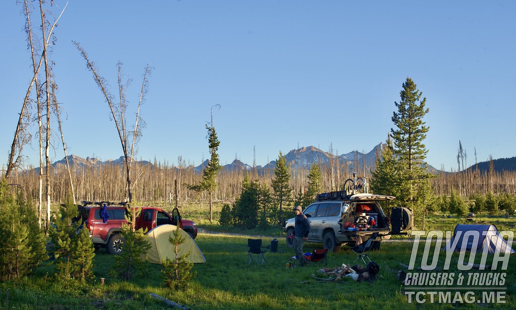
Scenic camping is readily available in Idaho.
The next morning, we drove the Lick Summit Road west toward McCall, Idaho. With no Monday morning traffic, we made good time over the summit. The city of McCall was busy with tourists enjoying Payette Lake and shopping the quaint downtown. We stopped at the Salmon River Brewery for a late lunch. I consumed an elk burger in record time. We spent the last few days not seeing many people. We had our own private Idaho. In McCall, we witnessed a few more invaders. We planned our escape and headed further north.
Our convoy skirted the Frank-Church Wilderness. This two-million-acre wilderness was designated by Congress in 1980. Frank Church advocated for the land to be left as is for Idahoans and visitors to enjoy. Together, the Frank Church Wilderness and the Bitterroot-Selway Wilderness to the north make the largest wilderness designation in the lower 48. Northward, we set camp for the night. We turned in early because we had to break camp early to pursue intense fun!
The following morning, we stopped at the office of Killgore River Adventures in Whitebird, Idaho. Killgore provides whitewater jet boat tours in the deepest canyon in the US—Hell’s Canyon. They have been operating jet boat tours for the past 20 years. The jet boaters experience a whitewater rush, a history lesson, and a lunch break. If lucky, you can witness a sturgeon catch and release.

The jet boat is a comfortable, fun way to see Hell’s Canyon.
Kurt Killgore met us at the dock. Jet boats draft very little water and therefore, make it possible to run whitewater rapids in low water situations. Kurt eased the boat into the mighty Snake River, and we proceeded to head upriver. The boat twisted and turned, following the bends of the river as the canyon walls engulfed us. Progress was easy in this 400 horsepower, three engine jet boat. After roughly 15 minutes, we pulled over at the Kirkwood Ranch. This ranch was obviously isolated and remote. It was gorgeous! Green grasses covered the grounds; irrigated by the stream running through the property originating high in the Seven Devil’s Mountains.

The cemetery around Custer, Idaho, is a worthy, informative stop. Avalanches seemed to be deadly.
We ventured back into the jet boat and continued motoring upriver. Kurt informed us that one of Killgore’s other boats was out on a fishing excursion and one of the clients hooked a sturgeon. The sturgeon can grow up to 11 feet and are only found in a deep river system. Our boat pulled up to theirs. They had been “fighting” this sturgeon for over three hours! The clients would take turns reeling in the fish because it was so taxing and tiring. An hour later, they reeled the monstrous fish into the boat. The fishing guide thought they had broken the record but sadly the sturgeon only measured nine feet, four inches. Wow! After a few pictures, the fish was released to fight another day. Being a little behind schedule, we raced up to the Hell’s Canyon Dam for lunch. The dam holds back the Snake River at 330 feet high. After lunch, we raced down stream hitting monster whitewater. Rapids with names such as Wild Sheep and Granite Rapids, soaked us but left a smile on our faces.

We stopped at the bottom of Granite Rapids, and Kurt informed us that we were at the bottom of the deepest canyon in the US. Roughly, 8,500 feet of mountain rose above us. It was over 1,000 feet deeper than the Grand Canyon. We strained to look up, but all we saw were false tops. It was a blast watching a captain in total command of his boat. He knew when to cut the power and when to give some gas! Kurt pulled over on a beach and let us soak and play in the water before we returned to Pittsburgh Landing. This was a day filled with adrenaline rush and human history. Hell’s Canyon has it all!
Idaho beckons the traveler. Grab a good topographic map and follow a road or river. The “goods” you will discover are phenomenal and fantastic. If you have read this article closely and looked at an Idaho map, you’ll notice that I traveled from the southeast to the northwest side of the state. You will also notice that I left out many places, sites, adventures, and natural wonders. Plan your route, and you will be rewarded with an epic journey! A journey you will not forget.
To get your copy of the
Fall 2021 Issue:


Follow us on Facebook, Twitter, and Instagram to get up-to-date industry news, events, and of course, amazing adventures, stories, and photos!


